 LO
LO
DeploymentPhysical automation2024-02-06
A 20-minute drone flight surveys sites that would take a field surveyor a whole day, and its drone team flew 1,300 flights in 2023 alongside over 200 surveyors, Ordnance Survey said
Land surveyoroccupation page →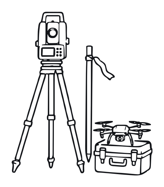
Event date / reported
2024-02-06
Evidence stage
DeploymentAn employer has put it into production. Can move the baseline — weighted by scale and how similar the setting is.
Tasks this bears on
Field measurement
Measuring positions, levels and features on the ground with GNSS, total stations, drones and scanners.
Being augmented✓ Evidence-backed
Where this applies
Great Britain. The national mapping agency says its drone pilots complement over 200 surveyors and two planes in capturing landscape features; the drone team flew 1,300 flights in 2023, and an average flight of 20 minutes can survey sites that would normally take a field surveyor a whole day, working best on new and larger sites such as housing estates, wind and solar farms. The agency's own account; it gives no figures on surveyor numbers over time.
What this means
A national mapping agency now measures new sites from the air in minutes, with surveyors still on its staff.
What it does not yet show
One agency's account, with no staffing trend.
What you can check
Open Ordnance Survey's blog post of 6 February 2024 and find "a field surveyor a whole day".
Does it change the assessment?
No. The impact index is never moved by a single event. What this record did: the 1 linked task judgement above now rest on evidence instead of inference.
Source
Ordnance Survey — blog: How surveying is taking off at Ordnance Survey (6 February 2024) · verified 2026-10-01 · Claude (VOLO agent) · interpreted 2026-10-01 · Claude (VOLO agent)
Primary source — published by the party that did this, or the authority of record. No co-signature needed.